CityWeave · Auckland City Digital Twin · by AG++ studio
Victoria Street West
Method, inputs and status · fixture data
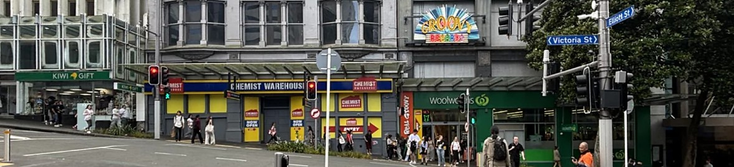
Model: street-aligned local frame; building outlines LINZ (CC BY 4.0), heights, trees, awnings and slope as stated under Method. Overlays appear only where the simulation has calculated them. Scale figures show people for size only, not pedestrian behaviour. Wikipedia, "Victoria Street, Auckland"; photo 10 Dec 2025. Map data © OpenStreetMap contributors.